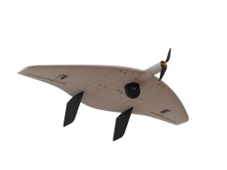
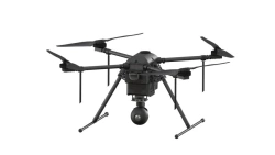
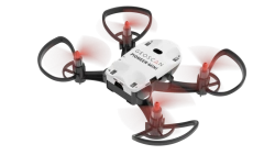
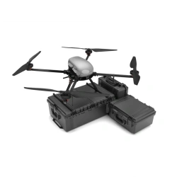
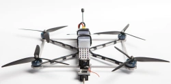
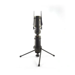
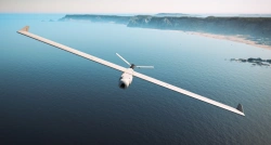
Griffon-51 Unmanned Aerial Complex is designed to create orthophotomaps and measurable 3D terrain models. The obtained results allow to promptly assess the real situation on the territory of interest and build plans for its development.
With the help of the complex it is possible to obtain high-resolution photos with high accuracy of georeferencing.


Tell us what you need and get quotes from verified suppliers