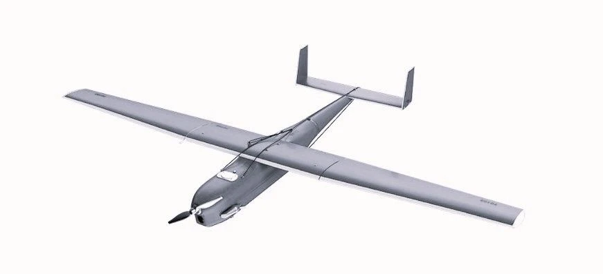
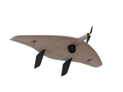
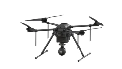
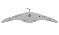
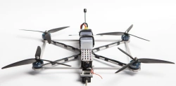
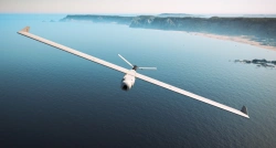
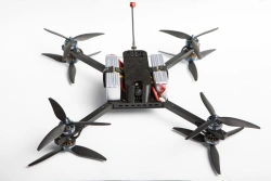
The complex, depending on the configuration, is designed to: perform aerial photography of terrain in automatic mode from a height of 150 to 2500 m above the Earth's surface, but not more than 4000 m above sea level, and obtain accurate geophysical coordinates of the centres of photography in the required coordinate systems; perform observation of objects at a distance of up to 70 km; provide retransmission of radio signals.


Tell us what you need and get quotes from verified suppliers