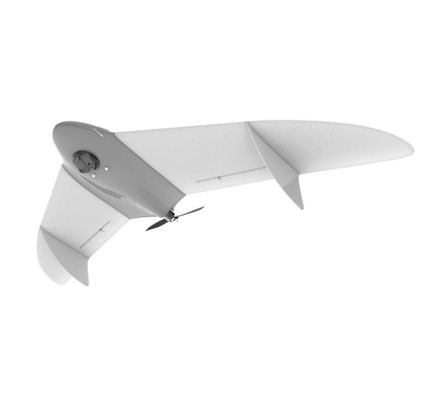
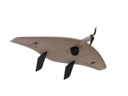
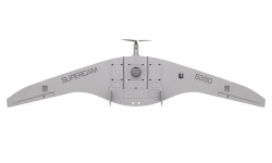
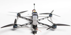
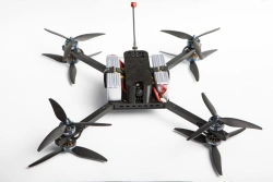
The Gryphon-12 unmanned aerial system is capable of solving a wide range of terrain mapping, continuous video monitoring and thermal imaging tasks.
The complex is equipped with an automatic control system (autopilot), inertial navigation system, GPS/GLONASS signal receiver, payload management controller, digital communication channel for transmission of command and telemetry and video/thermal imaging information.
It can be equipped with a geodetic GNSS receiver for calculation of high-precision coordinates of photo centres and determination of coordinates of ground objects with high accuracy in post-processing and/or interference-resistant navigation equipment. .


Tell us what you need and get quotes from verified suppliers