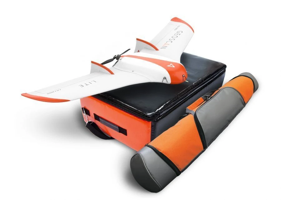


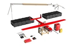

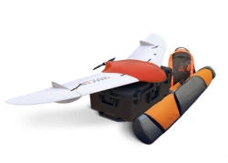
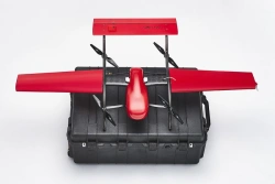
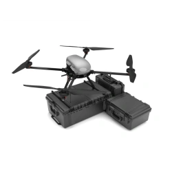
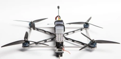
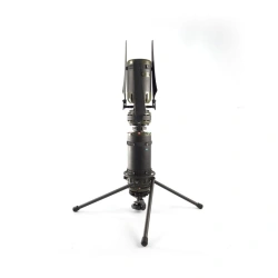
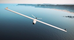
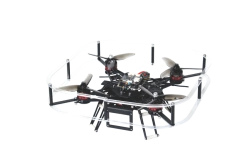
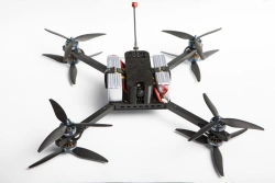
The unmanned complex is designed for automatic aerial survey and automatic processing of aerial survey data using photogrammetric software Agisoft Metashape Pro. The aerial survey data and georeferencing data (flight telemetry, ground control points) are used to create a textured 3D terrain model, elevation matrix and orthophotomap at various scales, including 1:2000 and 1:500 (the technology is certified).
The obtained data can be used for further processing in other software.


Tell us what you need and get quotes from verified suppliers