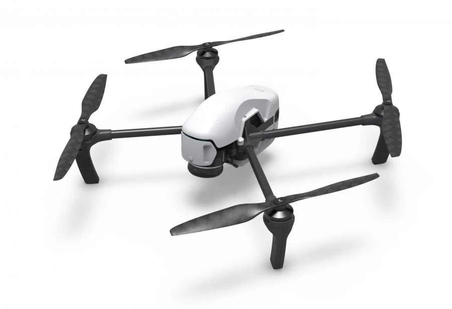


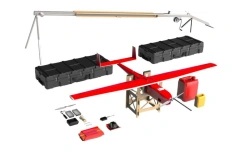
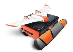

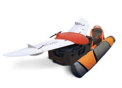
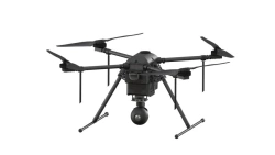
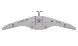
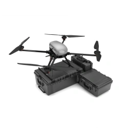
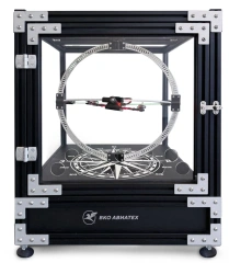
An unmanned aerial surveying system for operational mapping, geodetic works and cadastral surveying.Gemini is designed to make obtaining accurate spatial data easier, faster and cheaper.The built-in 20.1 MP Sony camera provides high quality images, while the Topcon geodetic receiver allows to obtain their coordinates with centimetre accuracy.


Tell us what you need and get quotes from verified suppliers