


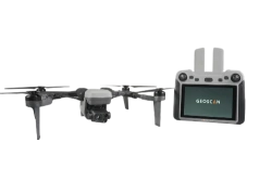
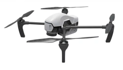

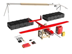
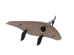
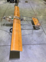
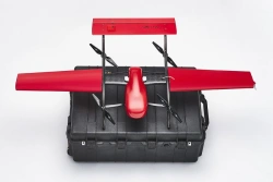
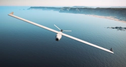
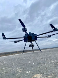
Geoscan 401 is an unmanned aerial system with vertical take-off and landing, which includes an unmanned aerial vehicle (UAV) and flight mission planning software. The system is designed to automatically perform flights of up to 60 minutes.


Tell us what you need and get quotes from verified suppliers