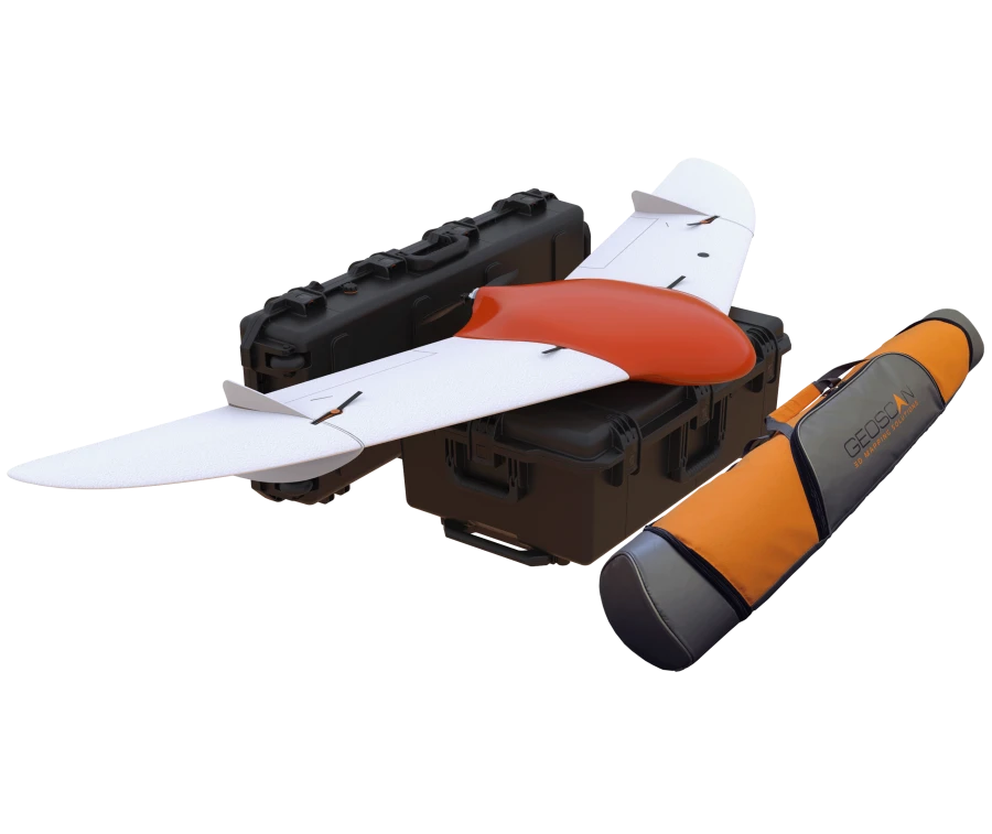


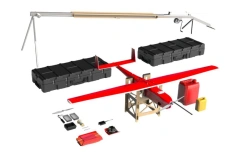
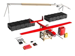
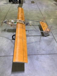
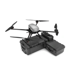
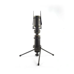
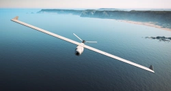
Geoscan 201 is an unmanned aerial system that includes an unmanned aerial vehicle (UAV), a launcher and flight mission planning software. The system is designed to automatically perform flights of up to 3 hours duration.


Tell us what you need and get quotes from verified suppliers