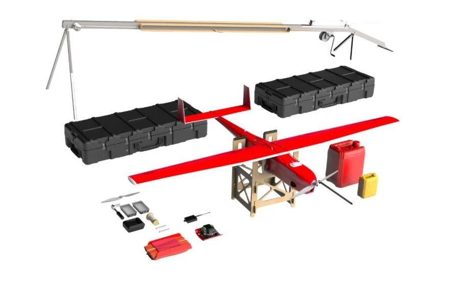


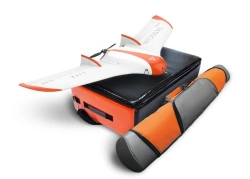

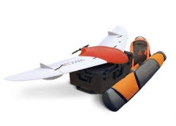
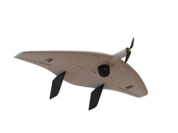
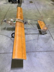
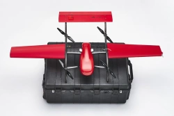
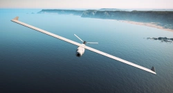
Geoscan 701 is an unmanned aerial system (UAS) for aerial photography, which includes an unmanned aircraft (UAS) of aircraft type with an internal combustion engine, a launcher and software for building flight missions. The unmanned aircraft uses an economical 4-stroke internal combustion engine, which provides a flight duration of up to 10 hours, covering a distance of at least 1000 kilometres.
The payload capacity of the UAV allows the placement of several payloads with a total weight of up to 3.5kg, which in turn ensures the effective fulfilment of the assigned tasks.


Tell us what you need and get quotes from verified suppliers