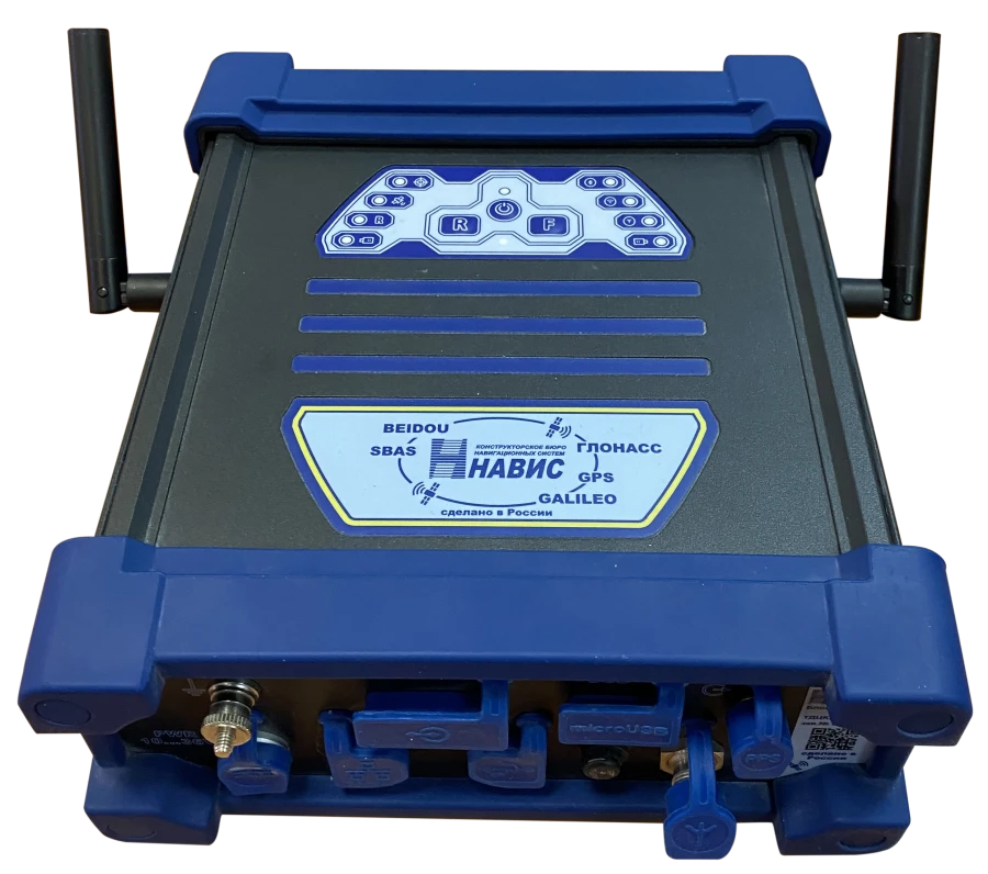
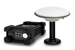
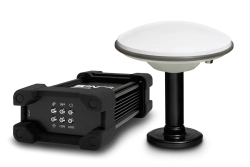
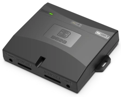
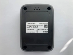
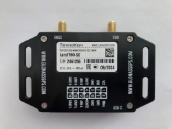
The RS equipment is designed to solve geodetic tasks, tasks of high-precision positioning (determination of consumer coordinates in autonomous and relative modes, in real-time modes and accumulation of data in the internal flash memory with subsequent unloading via interface and post-processing) using GLONASS, GPS, GALILEO, BeiDou GNSS signals; creation of geodetic networks, networks of high-precision navigation, formation and issuance of corrective information.


Tell us what you need and get quotes from verified suppliers