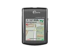
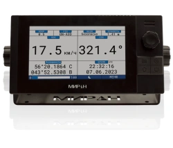
NAP NT-1813 is designed to determine the coordinates of place, time, course, speed, as well as for service support of the individual user on the route at any time of the year and day.
The NT-1813 UAS solves the following tasks:
- determination of current geographic coordinates and velocity vector components in autonomous and differential GNSS operation mode;
- determination of the location on the electronic map of the area;
- determination of the current date and time;
- route navigation, including:
- input and storage of intermediate route points;
- entering and storing routes based on waypoint data;
- change of waypoints during movement, calculation of distance and azimuth to the next waypoint, deviation from the route;
- assignment of return points - points fixed during the movement;
- calculation of the distance to the end of the route;
- calculation of the distance travelled;
Field of application
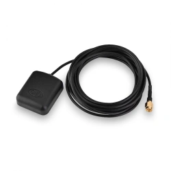
NT-1813 is designed to determine the location by GNSS signals.
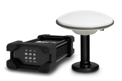
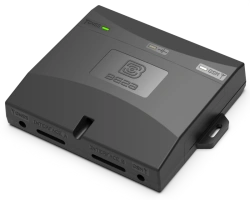
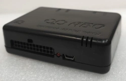
Equipment composition:
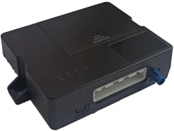
- Receiver unit;
- Battery;
- Additional cover;
- Charger set consisting of:
- Car charger (for USB devices);
- AC adapter 220 V, 50 Hz (for USB devices);
- USB-miniUSB cable;
- SD memory card;
- User Manual


Tell us what you need and get quotes from verified suppliers