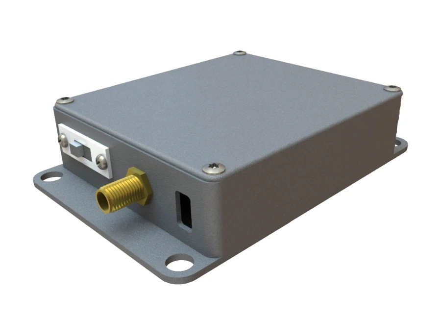
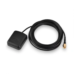
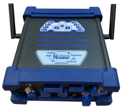
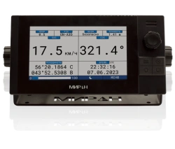
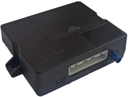
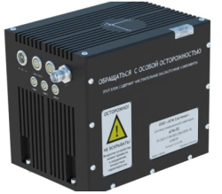
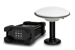
Board Inertial Navigation System (BINS) is designed to correct the location coordinates of unmanned vehicles for the purposes of duplication of satellite navigation systems (GNSS) and to refine the coordinates by determining the linear acceleration and angular velocity when comparing them with the route coordinates.</it id=335946>The field of application - equipment of land-based wheeled and tracked vehicles, in order to ensure continuous issuance of navigation solutions to the on-board computer or autopilot of the vehicle in the absence or instability of the vehicle.


Tell us what you need and get quotes from verified suppliers