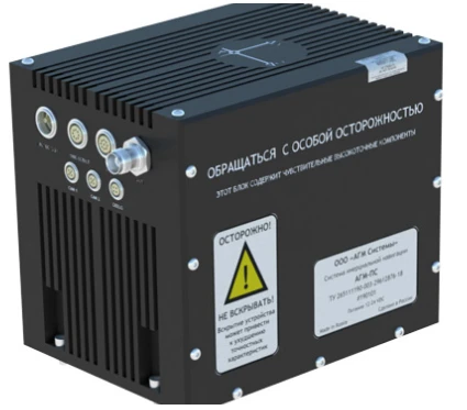
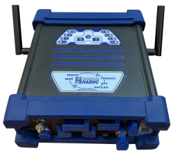
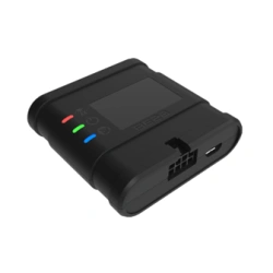
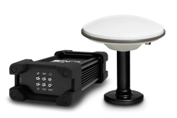
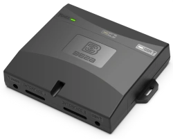
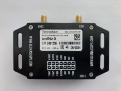
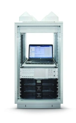
Software and hardware complex for stable uninterrupted positioning of vehicles, including in conditions of poor or completely absent signal of satellite navigation systems. It can be used both as part of airborne and mobile mapping systems and separately.
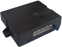
The system provides for issuing and receiving synchronisation signals for connection of any third-party equipment.
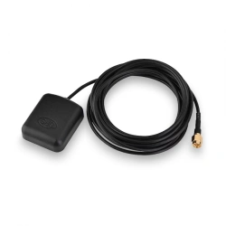
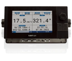
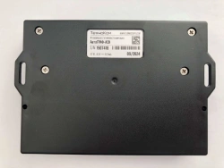
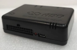
Combination of data from the inertial system (IMU) and satellite positioning system (GPS, GLONASS, Galileo, BeiDou) allows not only to obtain information about the orientation of the vehicle in three-dimensional space, but also to clarify the data on the trajectory of movement in conditions of difficult or absent signal from global positioning systems.


Tell us what you need and get quotes from verified suppliers