

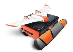
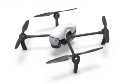

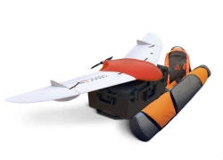
High precision magnetic survey using UAVs:
Obtain magnetic field data with the speed of aerial surveys and the accuracy of ground reconnaissance. Thanks to the improved flight control system, it is now possible to fly at different altitudes, at different speeds, with general and detailed terrain coverage.
The survey has also found its application in solving archaeological problems, searching for man-made objects, solving problems in regional structural geology and engineering-geological surveys.


Tell us what you need and get quotes from verified suppliers