Engineering and geodetic surveys are carried out in three stages: preparatory, field and cameral. At the beginning of the preparatory stage we receive the technical task and preparation of contractual (contractual) documentation.
Then we collect and process engineering survey materials of previous years in the survey area, as well as topographic-geodesic, cartographic, aerial photo survey and other materials and data in our own or state funds. Further, a programme of engineering-geodetic surveys is prepared in accordance with the requirements of the customer's technical task, taking into account hazardous natural and technogenic conditions of the territory.
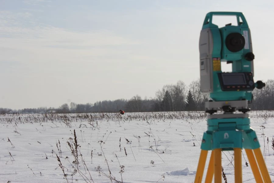
At the field stage our specialists carry out reconnaissance survey of the territory, a set of field works, as well as necessary computational and other works on preliminary processing of the received materials and data to ensure control of their quality, completeness and accuracy. At the final stage - cameral - produce...


Tell us what you need and get quotes from verified suppliers