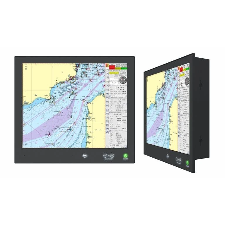
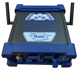
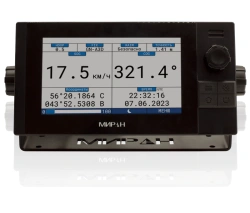
Designed for information support of navigational safety of navigation. Functions: executive wayfinding (real-time display of data received from navigation systems and instruments and solution of basic navigation tasks on the electronic chart), navigator's calculator (forward and reverse geodetic problems, direct calculus problem, calculation of the calculus coefficient and RMS error, conversion of geographical coordinates into quasi-geographical and vice versa), astronomy (calculation of illumination along the route and determination of the gyrocompass correction, determination of the surveyed place by celestial luminaries), astronomy (calculation of illumination along the route and determination of the gyrocompass correction, determination of the surveyed place by celestial luminaries), navigation calculator (calculation of the geodetic coordinates by celestial luminaries).
Satisfies the requirements of the Convention...


Tell us what you need and get quotes from verified suppliers