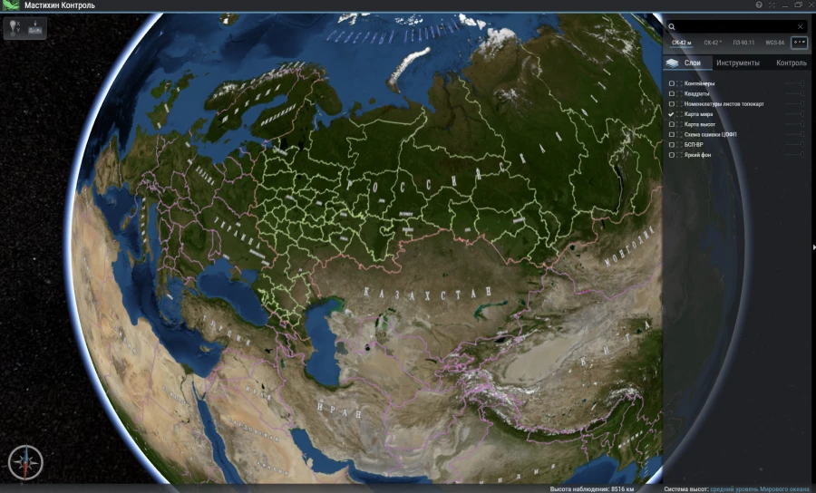
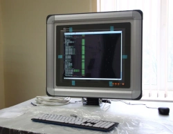
The software complex consists of three modules: "Mastichin Cutter", "Mastichin Control" and "Mastichin Storage Administrator". It is designed to reconvert digital geodata from standard raster formats to a unified lightweight tile format of data representation, as well as to control and upload the result of reconversion, operational visualisation and management of the entire volume of data in the storage.


Tell us what you need and get quotes from verified suppliers