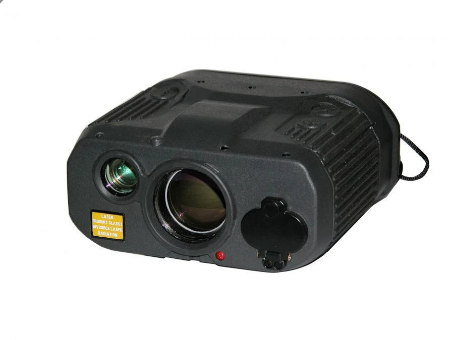
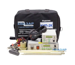
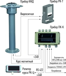
The device is designed for use in the field of geodesy, tourism, navigation, construction, etc., provides determination of coordinates of objects, processing and storage of information about objects, and prompt transfer of it to external devices.
The device allows:
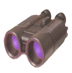
- observe the terrain, separate objects and orientate relative to the sides of the world with the help of the inbuilt EC;
- determine the coordinates of the "point of standing" of the device with the help of the built-in or external radio navigation device using GPS signals;
- determine geographical and calculate geodetic coordinates of targets;
- transmit information via agreed exchange protocol to external devices.


Tell us what you need and get quotes from verified suppliers