
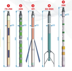

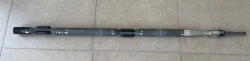
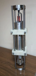
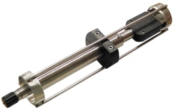
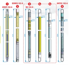
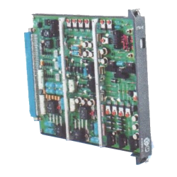
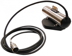
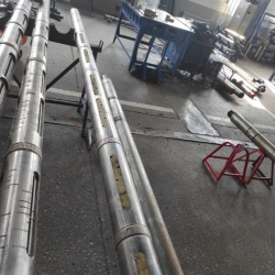
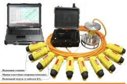
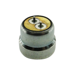
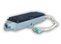
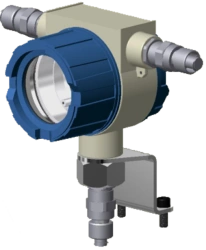
LWD48.12.00.00.00.000 Pulsator module
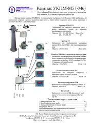
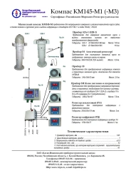
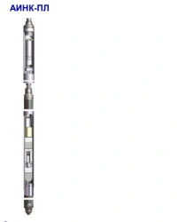
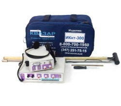
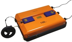
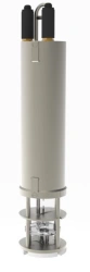
Geophysical Instruments

تواصل مع المصنعين الروس للحصول على معدات موثوقة وبأسعار معقولة

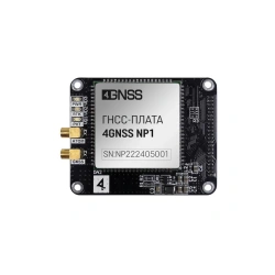
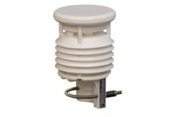

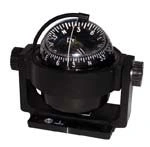
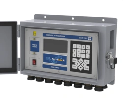
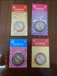
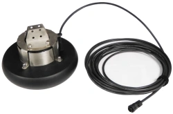
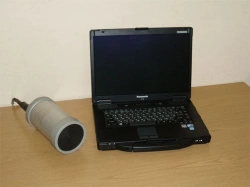
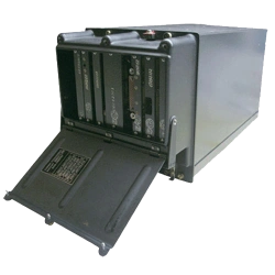
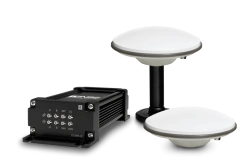

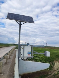
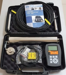
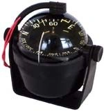
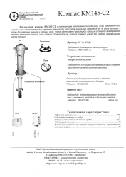
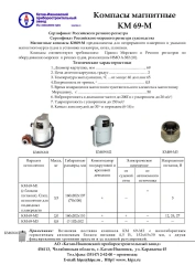
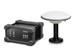
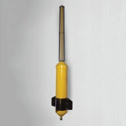
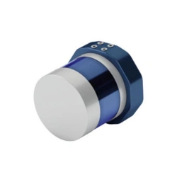
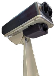
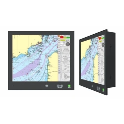
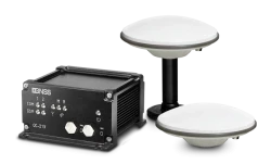
The Geophysical & Navigation Devices category is essential for businesses involved in geological exploration, construction, and maritime navigation across Africa, the Middle East, and South Asia. This category includes two key subcategories: Precision Measurement Tools and Navigation Instruments.
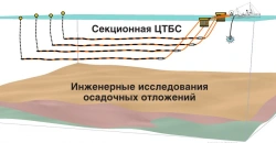
These devices are critical for solving operational challenges such as determining the geophysical properties of the earth, accurate positioning, and efficient resource management. They are used in diverse environments, from mining and oil exploration sites to infrastructure development projects and marine surveys.
These devices are also suitable for resale in specialized electronics shops and online marketplaces, offering opportunities for retail businesses to cater to niche markets. They play a crucial role in enabling the development of infrastructure projects and resource management in rapidly growing regions.
Russian-made products in this category are particularly suitable for the African market due to their robust design and capability to perform under harsh conditions. Russia's history of engineering products for extreme environments ensures these tools are reliable and require minimal maintenance, making them a practical choice for challenging terrains and climates.
With the increasing demand for infrastructure development and natural resource exploration in Africa, these products offer a significant opportunity for businesses to expand operations and achieve efficient production. Importers and wholesale distributors can benefit from the growing need for advanced measurement and navigation solutions, making this a lucrative category to explore.
لطلب منتجات من روسيا من خلال منصتنا، اختر المنتج الذي يهمك، انقر على زر "طلب عرض سعر"، واملأ نموذج الطلب. سيتصل بك مديرونا لتوضيح التفاصيل وتقديم عرض تجاري.
نحن نقدم طرق دفع متنوعة، بما في ذلك الدفع المسبق، والدفع الجزئي، وخطاب الاعتماد غير القابل للإلغاء، وخيارات أخرى. يتم مناقشة شروط الدفع بشكل فردي لكل صفقة وتعتمد على حجم الطلب وبلد التسليم ومتطلبات المورد.
نقوم بتسليم المنتجات الروسية إلى أي نقطة في العالم. شركتنا لديها طرق لوجستية متطورة وعلاقات شراكة مع شركات النقل، مما يسمح لنا بتنظيم التسليم بأكبر قدر من الكفاءة.
نعم، نحن نعمل مع طلبات توريد المنتجات التي ليست في كتالوجنا. أرسل لنا مهمة فنية أو اوصف المنتج المطلوب، وسنجد مصنعاً مناسباً في روسيا.