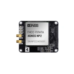
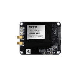
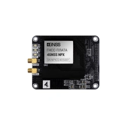
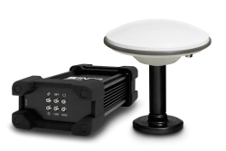
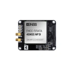
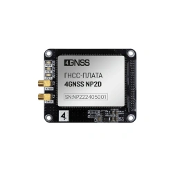
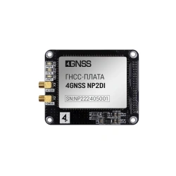
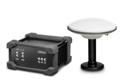
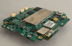
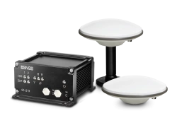
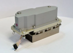
GNSS board 4GNSS NP2
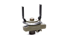
Surveying Instruments
تواصل مع المصنعين الروس للحصول على معدات موثوقة وبأسعار معقولة

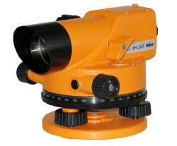


The Surveying Instruments category offers a range of essential tools designed to meet the precise needs of businesses involved in construction, land surveying, and geospatial analysis. These tools are indispensable for professionals who need to determine exact locations, measure distances, and map out areas accurately, which is vital for infrastructure development in regions like Africa, the Middle East, and South Asia.
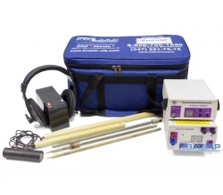
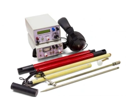
Key Business Solutions: Our surveying instruments help solve critical problems such as accurate land measurement, geodetic data collection, and underground utility detection. These solutions are essential for construction firms, urban planners, and geologists who require precise data to make informed decisions.
Applications and Use Cases: Surveying instruments are used in a variety of applications, including:
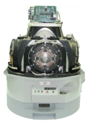
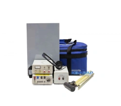
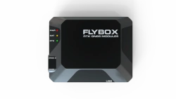
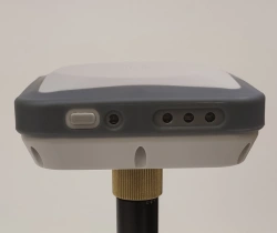
Technical Characteristics: Our products range from GNSS receivers with capabilities for centimeter-level accuracy, to trace detectors used for identifying hidden underground utilities. These instruments typically feature robust designs suitable for harsh environments, with functionalities such as multi-frequency support, RTK capability, and high-precision measurement capabilities.
Relevance to African Markets: The demand for infrastructure development and urbanization in many African countries provides a lucrative opportunity for surveying instruments. These tools are critical for governments and private firms focusing on road construction, housing projects, and resource management. The precision and reliability of these instruments ensure that projects are completed on time and within budget, making them a valuable asset for any business in these markets.
Profit and Growth Potential: Importing and distributing surveying instruments can be a profitable business due to the ongoing need for infrastructure development across developing regions. With a growing emphasis on accurate data collection for project planning and execution, these instruments offer a clear path to business growth.
In Russia, the geospatial industry has seen significant advancements with the integration of modern GNSS technologies, leading to improved accuracy and efficiency in surveying practices. This expertise is now being translated into tools that are available globally, ensuring that businesses in emerging markets can benefit from cutting-edge technology.
لطلب منتجات من روسيا من خلال منصتنا، اختر المنتج الذي يهمك، انقر على زر "طلب عرض سعر"، واملأ نموذج الطلب. سيتصل بك مديرونا لتوضيح التفاصيل وتقديم عرض تجاري.
نحن نقدم طرق دفع متنوعة، بما في ذلك الدفع المسبق، والدفع الجزئي، وخطاب الاعتماد غير القابل للإلغاء، وخيارات أخرى. يتم مناقشة شروط الدفع بشكل فردي لكل صفقة وتعتمد على حجم الطلب وبلد التسليم ومتطلبات المورد.
نقوم بتسليم المنتجات الروسية إلى أي نقطة في العالم. شركتنا لديها طرق لوجستية متطورة وعلاقات شراكة مع شركات النقل، مما يسمح لنا بتنظيم التسليم بأكبر قدر من الكفاءة.
نعم، نحن نعمل مع طلبات توريد المنتجات التي ليست في كتالوجنا. أرسل لنا مهمة فنية أو اوصف المنتج المطلوب، وسنجد مصنعاً مناسباً في روسيا.