


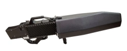


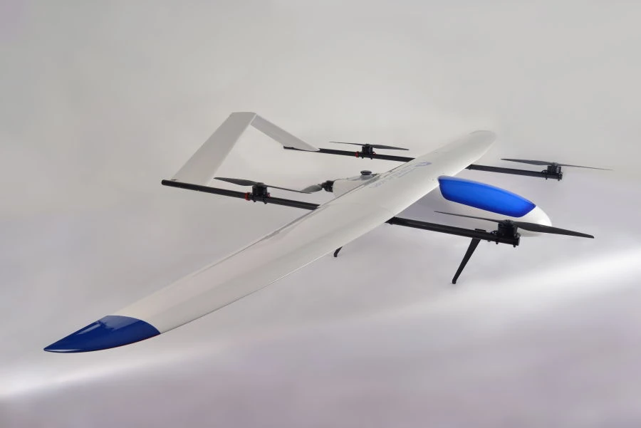
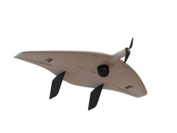
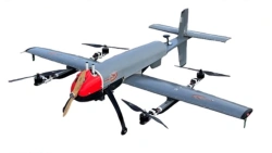
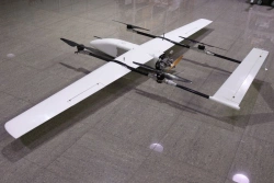
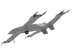
BAS of aircraft type of vertical take-off and landing, functioning in automatic mode, with data transmission to the central server. It is intended for monitoring the relief of the land, crops, determining the boundaries of fields, plots, types of crops, indices of green mass and visual control and analysis of forests, clearings, fires, floods, open mining, geodesy and cartography, monitoring the integrity of main communications (power lines, pipelines, railways, highways).Analysis of the obtained visual and multispectral data on the basis of machine vision technology and AI.It is possible to retrofit the system of delivery of emergency cargo in automatic mode. In addition, the design allows to deliver cargoes up to 10 kg at a distance of more than 100 km


Tell us what you need and get quotes from verified suppliers