 Available for Import
Gryphon-51 Unmanned Aerial Vehicle Complex for Terrain Mapping
Manufacturer:PLAZ LLC
Price:Request Quote
Bulk pricing available
FOB, CIF & EXW terms available
Description
Griffon-51 Unmanned Aerial Complex is designed to create orthophotomaps and measurable 3D terrain models. The obtained results allow to promptly assess the real situation on the territory of interest and build plans for its development. With the help of the complex it is possible to obtain high-resolution photos with high accuracy of georeferencing.
Share your requirements for a quick response!
Instant response in 15 minutes
Best wholesale prices guaranteed
Direct from manufacturer
Delivery & Payment
Shipping Terms
Delivery Time
Sea freight: 30-60 days (depending on destination) Air freight: 14-21 days (for urgent orders)
Payment Methods
Similar Products You May Be Interested In
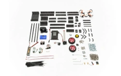
TRIK Geoscan Starter Kit for Mobile Robots
View Details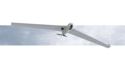
Long-Range UAV System ZALA 421-16T
View Details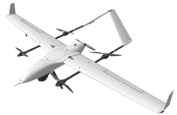
MiniSIGMA Unmanned Aerial System
View Details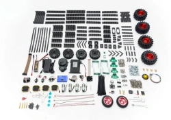
TRIK Geoscan "Advanced" Drone Exploration Kit
View Details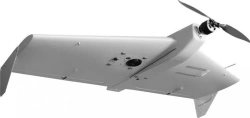
ZALA 421-10T Tactical UAV System for Aerial Surveillance
View Details
Octocopter Drone for Aerial Monitoring and Payload Delivery up to 5kg ZHUK-5 Pro
View Details
Supercam S450 Unmanned Aerial Vehicle System
View Details
Albatross M5 Drone Complex for Aerial Photography and Monitoring
View Details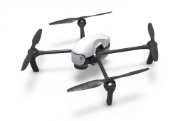
Geoscan Gemini Aerial Photography Complex
View Details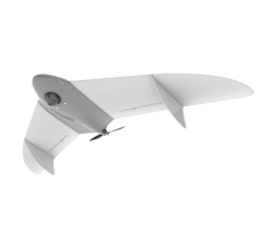
Gryphon-12 Unmanned Aerial System (UAS)
View Details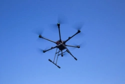
Hexacopter UAV "Khargana
View Details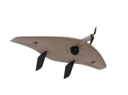
Remote Aerial Surveillance Drone System "Supercam S150
View DetailsVerified Suppliers
All products are sourced directly from authorized Russian manufacturers
Quality Assurance
Products meet international quality standards with proper certification
Global Shipping
Reliable logistics solutions to deliver products to your location
Secure Payments
Multiple secure payment options to facilitate international transactions