 Available for Import
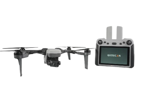
Geoscan 801 Unmanned Aerial System for Precision Mapping and Surveying
Bulk pricing available
FOB, CIF & EXW terms available
Description
Geoscan 801 is an unmanned aircraft system that includes an unmanned aerial vehicle (UAV) and a remote control unit with a 7-inch high-resolution touchscreen display. The software embedded in the remote control allows the construction of a flight task to be executed in automatic and semi-automatic modes. The unmanned aircraft, which is part of the complex, is designed to perform aerial reconnaissance and surveillance in real time. To fulfil its tasks, it is equipped with two video cameras and a thermal imager of resolution.
Specifications
Share your requirements for a quick response!
Delivery & Payment
Shipping Terms
Delivery Time
Payment Methods
Similar Products You May Be Interested In
Educational Drone Kit ARA EDU - Modular Quadcopter Builder
View Details
Comprehensive Quadcopters Development Kit for FPV and Autonomous Navigation
View Details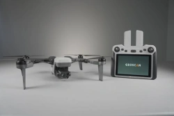
Drone Aviation System "Dron aeroport ERI MINI" with UAV "Geoscan 801
View Details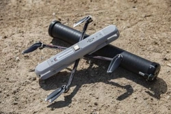
Mini Drone System for Aerial Surveillance and Data Collection Karakurt
View Details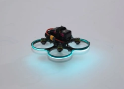
Sports Quadrocopter Builder Kit "Vzhukh FPV
View Details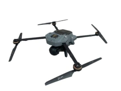
Gargoyle Unmanned Aerial System for Video Monitoring and Aerial Photography
View Details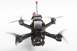
Reconnaissance and Strike Drone RTD-1
View Details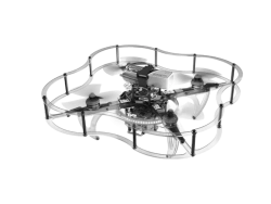
Programmable Drone Constructor "Gaskar Clever 4 Code
View Details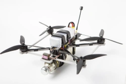
Compact Kamikaze Drone RTD-K8
View Details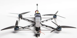
Kamikaze Drone RTD-K10 - Compact and Highly Maneuverable
View Details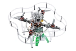
Educational Programmable Quadrotor Drone Kit for Learning UAV Control - Gaskar Pro
View Details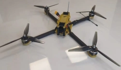
Multirotor Drone with Autonomous Flight System for Payloads up to 4kg
View DetailsVerified Suppliers
All products are sourced directly from authorized Russian manufacturers
Quality Assurance
Products meet international quality standards with proper certification
Global Shipping
Reliable logistics solutions to deliver products to your location
Secure Payments
Multiple secure payment options to facilitate international transactions