 Available for Import
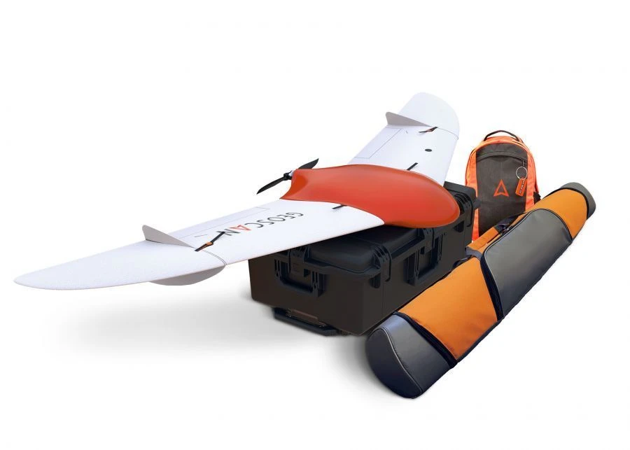
Complex for aerial photography "Geoscan 201"
Manufacturer:
Price:
Request Quote
Bulk pricing available
FOB, CIF & EXW terms available
Key Highlights
- Made in Russia - engineered for durability
- Suitable for challenging environments
- Lower cost of ownership than European alternatives
- Bulk orders available with volume discounts
- Documentation and customs clearance assistance provided
Description
"Geoscan 201" is an aerial survey system that includes an unmanned aerial vehicle (UAV) of the "flying wing" type, a launcher and flight mission planning software.
Purpose
The unmanned complex is designed for automatic aerial survey with extended flight duration up to 3 hours. Due to this Geoscan 201 allows to survey a large territory in 1 flight and provide a larger range of coverage, additionally reducing logistics costs. The complex is equipped with automatic control system (autopilot), inertial navigation system, GPS/GLONASS signal receiver, payload management controller, digital communication channel for transmission of command and telemetry information and high-precision geodetic receiver.
Field of application
The materials obtained using the complex can be used for:
- creation of orthophotomaps in the range of scales 1:500 - 1:2000;
- three-dimensional modelling of a site locally.
Specifications
Type of product according to PP RF 616
Other flying machines with empty weight not exceeding 2000 kg.
Landing type
Parachute
Type of takeoff
catapult
Maximum route length
210
Maximum flight duration
180
Battery type
lipo V
Engine type
Electric, collectorless W
Minimum safe flying altitude
100 m
Wingspan
2.22 m
Maximum allowable wind speed
B1/B8 2100/900 MHz
Maximum payload weight
1.5 kg
Maximum takeoff weight
8.5 kg
Maximum flight altitude
4000 m
Note: All specifications are provided by the manufacturer and may be subject to change. Please contact us to confirm the latest specifications before placing your order.
Share your requirements for a quick response!
Instant response in 15 minutes
Best wholesale prices guaranteed
Direct from manufacturer
Delivery & Payment
Shipping Terms
Delivery Time
Sea freight: 30-60 days (depending on destination)
Air freight: 14-21 days (for urgent orders)
Payment Methods
Similar Products You May Be Interested In
Geoscan Gemini complex for aerial photography
View Details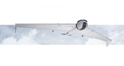
Unmanned aerial system ZALA 421-16TM
View Details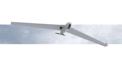
Unmanned aerial system ZALA 421-16T
View Details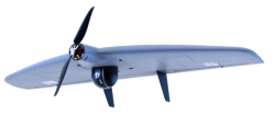
Unmanned aerial complex with unmanned aircraft "Supercam S100"
View Details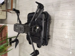
Multifunctional unmanned aerial system of helicopter type ZhRGA.461417.099
View Details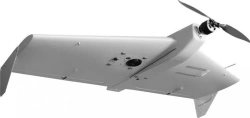
ZALA 421-10T unmanned aerial system
View Details
Unmanned aircraft Pilgrim
View Details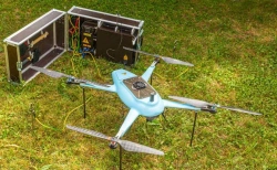
Unmanned aerial system "PHOENIX SPP"
View Details
Unmanned aerial system "PHOENIX MINI"
View Details
Unmanned aerial system "IKS 7" (Fixar 007)
View Details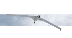
Unmanned aerial system ZALA 421-16T2
View Details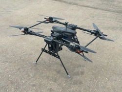
Unmanned aerial vehicle UAV (Glider type octocopter) Zhuk-5 Pro
View DetailsVerified Suppliers
All products are sourced directly from authorized Russian manufacturers
Quality Assurance
Products meet international quality standards with proper certification
Global Shipping
Reliable logistics solutions to deliver products to your location
Secure Payments
Multiple secure payment options to facilitate international transactions