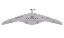
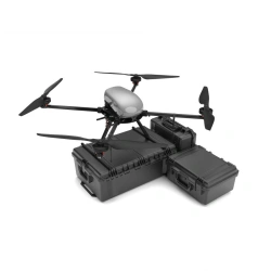
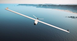
مجمع الطائرات بدون طيار Griffon-51 مصمم لإنشاء خرائط فوتوغرافية وخرائط تضاريس ثلاثية الأبعاد قابلة للقياس. النتائج التي تم الحصول عليها تسمح بتقييم الوضع الحقيقي بسرعة على الأراضي المعنية وبناء خطط لتطويرها.
بمساعدة المجمع، من الممكن الحصول على صور عالية الدقة مع دقة عالية في تحديد المواقع الجغرافية.


أخبرنا بما تحتاجه واحصل على عروض أسعار من موردين موثوقين