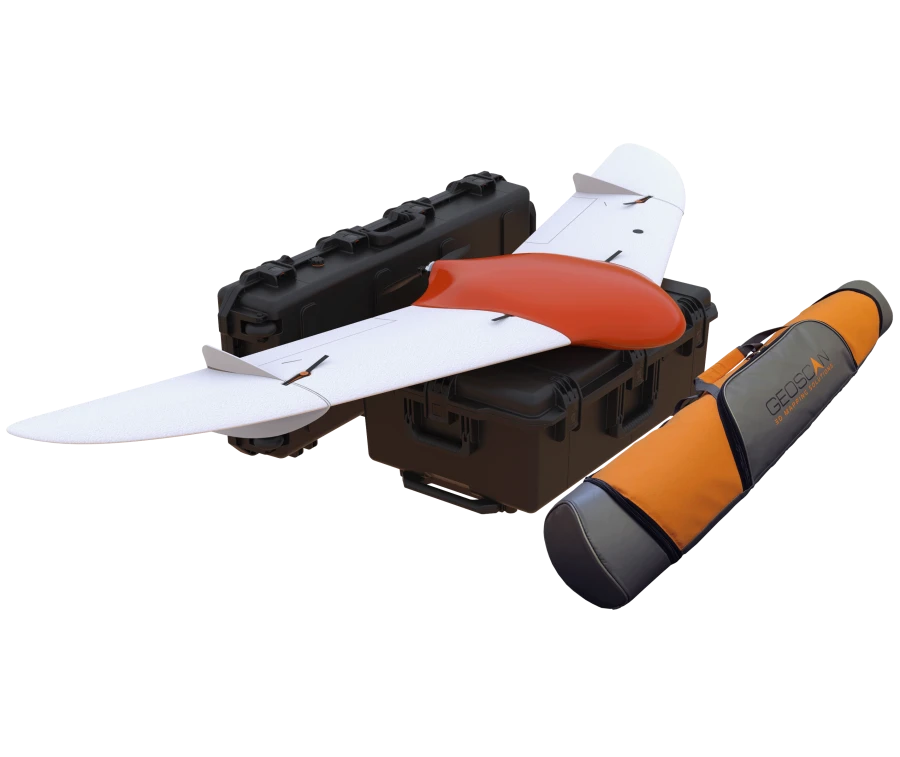


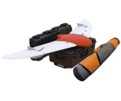
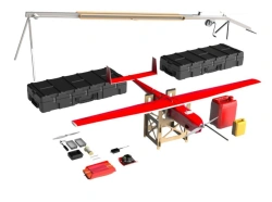
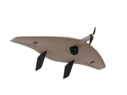
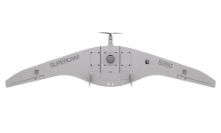
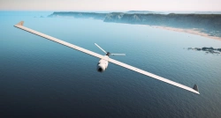
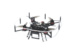
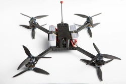
نظام الطيران الجوي Geoscan 201 هو نظام جوي غير مأهول يتضمن طائرة بدون طيار (UAV)، ومُطلق وبرامج تخطيط مهام الطيران. تم تصميم النظام لأداء الرحلات تلقائيًا لمدة تصل إلى 3 ساعات.


أخبرنا بما تحتاجه واحصل على عروض أسعار من موردين موثوقين