


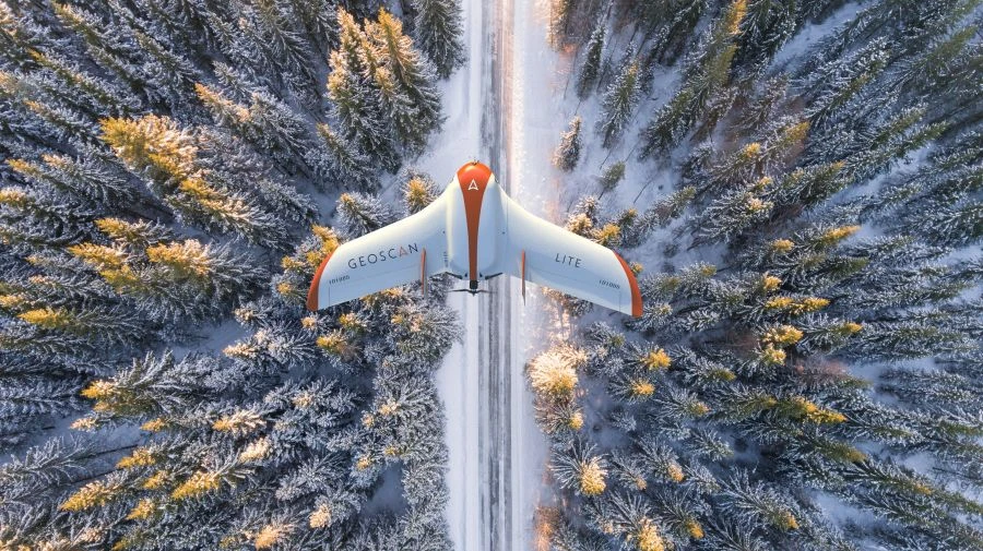

Services of aerial photography and material processing to produce an orthophoto, elevation matrix and 3D terrain model. Surveying is performed by Geoscan UAV with a professional full-frame camera. Photogrammetric processing is performed in the domestic software product - Agisoft Metashape Pro, number in the OP register - 2184 .
Tell us what you need and get quotes from verified suppliers